Historic Photo Collection - Streets
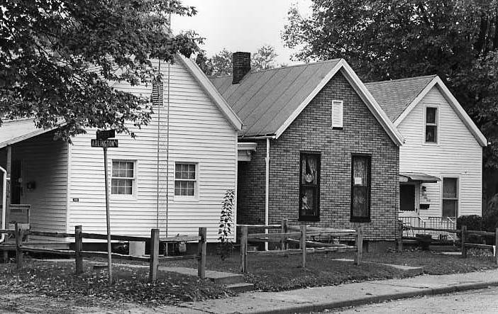
Arlington Avenue, 3100 Block: Photo dated 1984 (6PC 10)
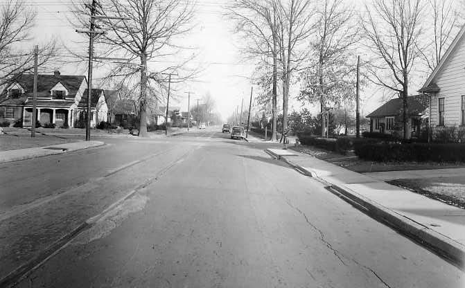
Bellemeade Avenue: Looking east from Weinbach Ave.; photo dated February 10, 1941 (Meyer-Schlamp 47)
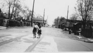
Canal Street: View from Seventh St. towards Eighth St.; photo dated May 3, 1951 (Knecht 4519)
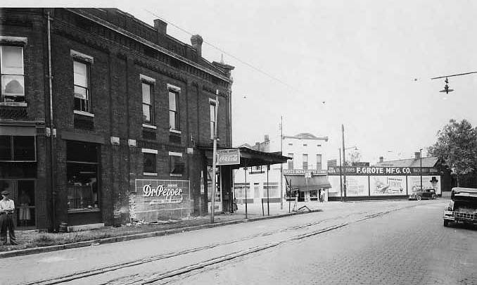
Carpenter Street at NW Second Street: Photo dated August 16, 1938 (Meyer-Schlamp 44)

Clark Street, 300 Block: Photo dated January 18, 1957 (Koch 122)
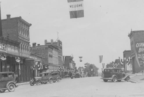
Commercial District (Poseyville, IN?): 1920s (Knecht 3971)
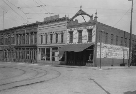
Court Street: Buildings that were razed to make room for the Coliseum; photo dated 1915 (Knecht 4478)

Eighth Street, 300 Block SE: Corner building is Damron’s Grocery Market; c. 1960s (Payne 50)

Fifth and Walnut Streets: Photo dated 1920 (Knecht 4472)

Fifth Street, NW: Between Vine and Court Sts., across from the Old Vanderburgh County Courthouse; early 1900s (Knecht 881)

Fifth Street, NW: Between Vine and Court Sts.; photo dated August 1910 (Knecht 498)
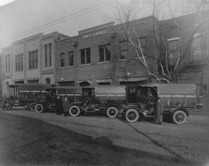
Fifth Street, SE: Block between Locust and Walnut Sts.; center building is Day’s Garage, with Southern Express Co. vehicles parked in front of it; photo dated 1910 (Knecht 4038)
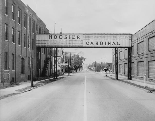
First Avenue, 1500 Block: Looking north from the old Hoosier Cardinal plant; c. 1980 (Knecht 908)
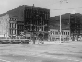
First Street, 100 Block NW: C. early 1960s (Meyer-Schlamp 489)
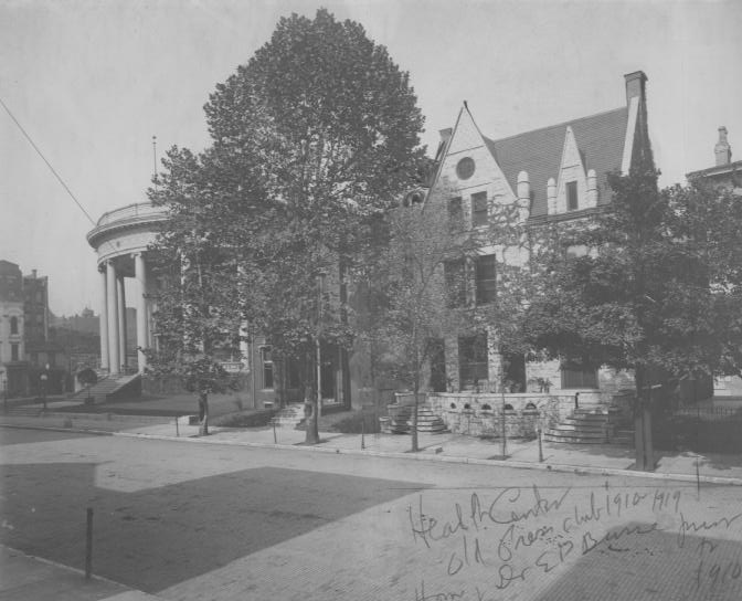
First Street, 100 Block SE: The Elks Club (with columns) is at left; the building at the right was occupied by the Press Club before it became a health center; early 1900s (Knecht 987)
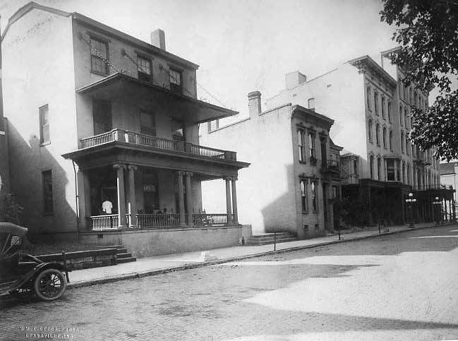
First Street, 100 Block SE: St. George Hotel at far right (site of present McCurdy Hotel); photo dated 1910 (Knecht 4511)
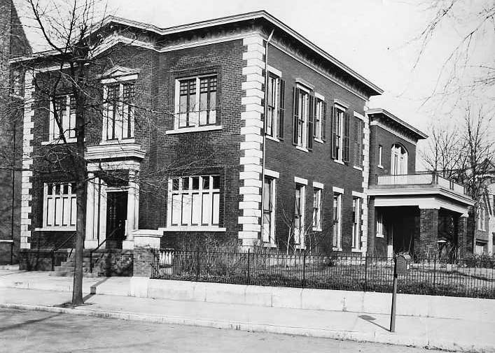
First Street, 124 SE: Office of Dr. William H. Field; c. 1920s (Knecht 3850)
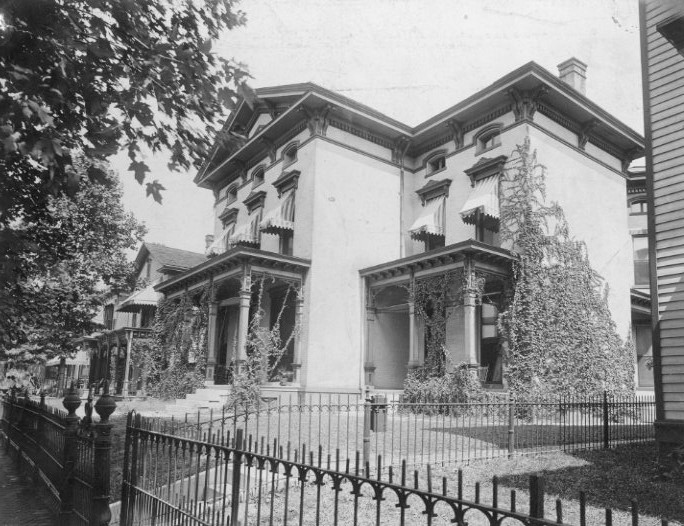
First Street, 414 SE: Residence of the Orr family in the early 20th-century (Orr Family Collection)
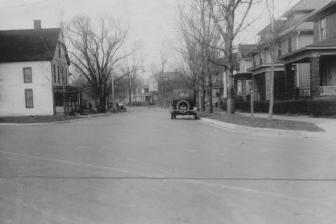
First Street, SE: View of newly-asphalted street from Riverside Dr.; photo dated 1920 (Knecht 4473)
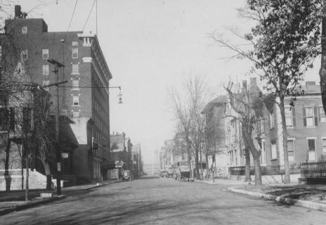
First Street, SE: Looking from Walnut St. towards Main St.; photo dated December 1920 (Knecht 4494)

Fourth Street at Locust Street: Photo dated 1930s (Knecht 4503)

Fourth Street at Locust Street: Schear’s Department Store at left; c. 1920 (Knecht 4462)
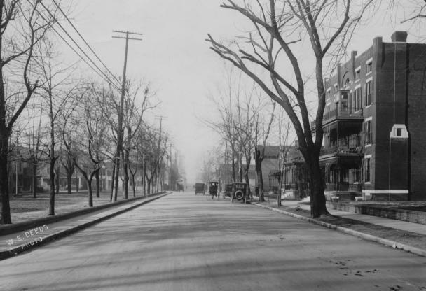
Fourth Street from Oak Street: Looking towards Main St.; c. 1915 (Knecht 4543)

Fourth Street, 100 Block NW: C. 1950s (John Koch 187)

Fourth Street, 100 Block SE: C. 1980 (Marchand 126)
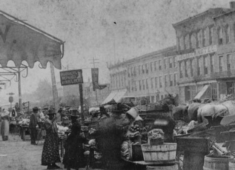
Fourth Street, 100 Block SE Outdoor market; c. early 1900s (Marchand 1393)

Fourth Street, 101 NW: The old Sears, Roebuck & Co. building; c. 1978 (Marchand 1147)
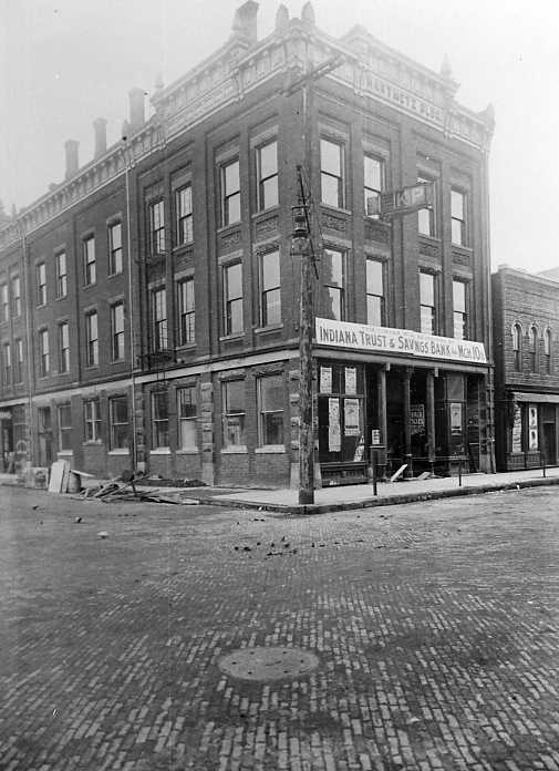
Fourth Street, 18 NW Hartmetz Building (under renovation for new occupant, the Indiana Trust & Savings Bank); early 1900s (Deeds 55)
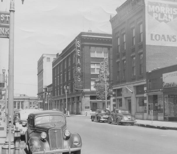
Fourth Street, NW: Sears building (101 NW Fourth St.) is at center; c. 1940s (Morris Plan 1)
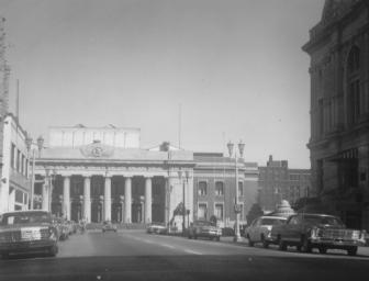
Fourth Street, NW: The Coliseum is in the background, and the west facade of the Vanderburgh County Courthouse is visible at the right; c. 1960s (Meyer-Schlamp 481)
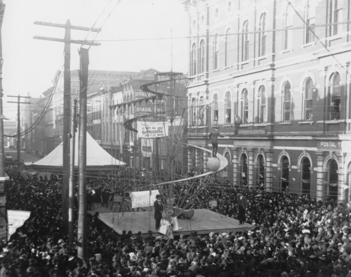
Fourth Street, NW: Crowd viewing performers in the 100 block; the Coliseum is slightly visible at the end of the street; early 1900s (Riggs 7)
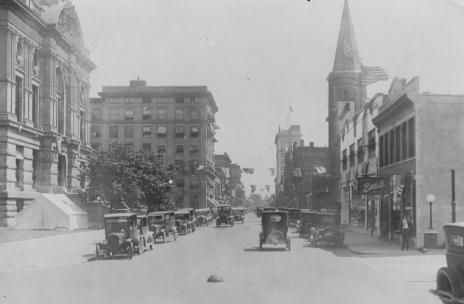
Fourth Street, NW: View from Court St., looking towards Vine St.; c. 1930 (Knecht 4507)
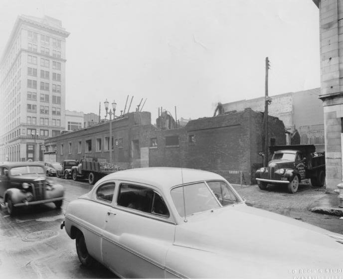
Fourth Street, NW: Looking towards Main St.; c. 1950 (Mason 14)
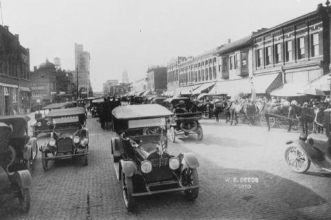
Fourth Street, SE: C. 1920 (Marchand 1392)
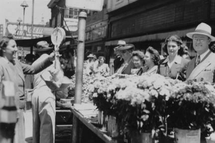
Fourth Street, SE: Open-air market; c. 1940s (Knecht 1846)

Franklin Street , 2300 Block W: C. 1920s (Knecht 3267)

Franklin Street at Fulton Avenue: Photo dated December 1920 (Knecht 4639)
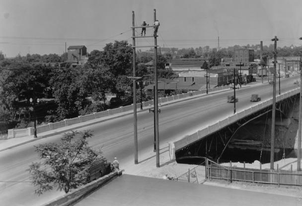
Franklin Street Bridge: C. late 1930s (Knecht 3334)

Franklin Street, 2000 Block W: Laval Block; c. 1980 (Marchand 1032)
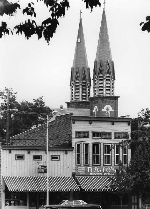
Franklin Street, 2000 Block W: Photo dated July 20, 1984 (6PC 99)

Franklin Street, 2100 Block W: View looking west on Franklin; at left is the historic Heldt-Voelker Hardware Store building, currently the Gerst Haus restaurant; photo dated 1909 (Knecht 1860)
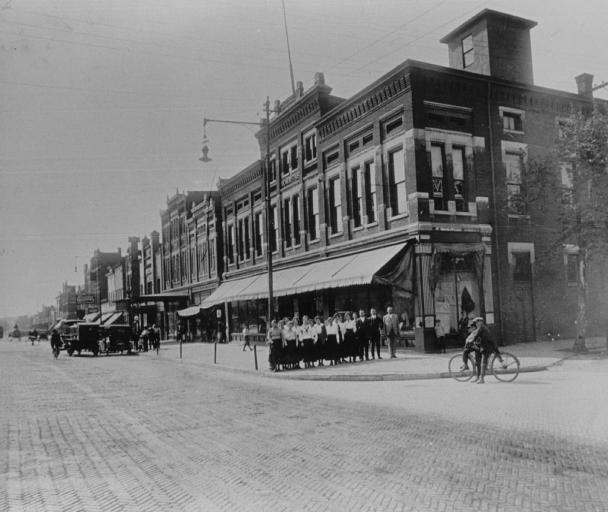
Franklin Street, 2100 Block W: Group standing in front of the Scherffius Department Store, later destroyed by fire; c. 1915 (Deeds 73)

Franklin Street, 2100 Block W: Students performing in street as American flags fly from buildings; c. 1915-1920 (Knecht 4461)
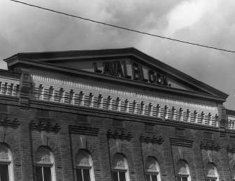
Franklin Street, 2200 Block W: Detail of the Laval Block (Marchand 1039)

Franklin Street, 2200 Block W: The Laval Block, viewed from the park across the street (Marchand 1031)
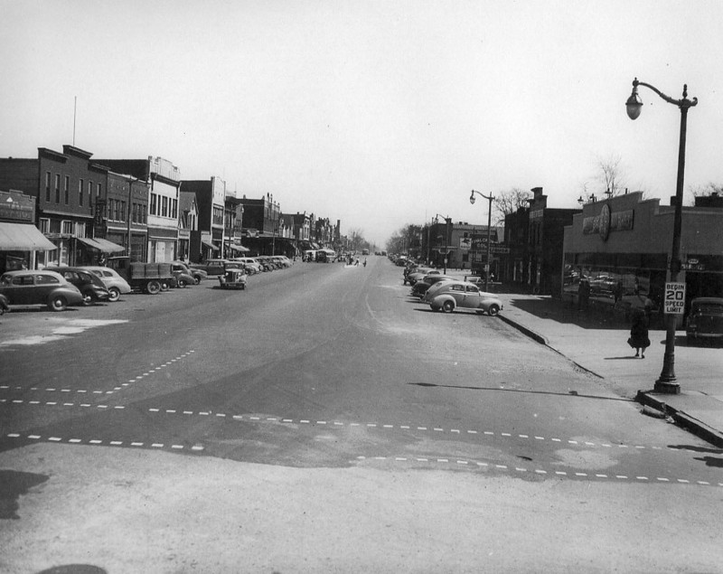
Franklin Street, 2300 Block W: Looking west from St. Joseph Ave.; 1943 (Rusche-LST Collection)
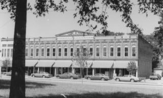
Franklin Street, W: Laval Block (across from the West Side library branch); c. 1980s (Sonntag 4)
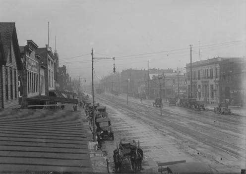
Franklin Street, W: Photo dated January 1921 (Knecht 428)

Fulton Avenue: Early 1900s (Meyer-Schlamp 42)

Fulton Avenue: Early 1900s (Knecht 4655)
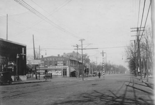
Fulton Avenue at Franklin Street: Lamasco Bank is at far left; photo dated 1919 (Knecht 4498)

Fulton Avenue, 200 Block S: At left is the L & N Railroad depot; c. 1968 (Marchand 2126)

Fulton Avenue, 610 and 620 N: Residences of Henry Cook (left) and Charles Cook (right), whose father founded the F. W. Cook Brewing Co. in 1853; photo dated 1985 (7 PC 107)
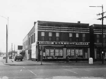
Fulton Avenue, 800-802: Photo dated 1965 (Marchand 992)
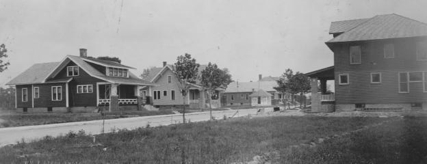
Gum Street: New homes between Evans and Kentucky Aves.; photo dated November 22, 1911 (Knecht 508)

Haynie’s Corner: Photo taken after a fire at the H. A. Woods Drug Store; early 1940s (Payne 41)
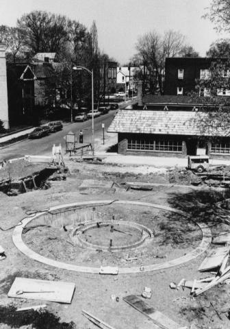
Haynie’s Corner: Construction of fountain in 1978; SE Second St. in upper left corner (Marchand 1386)

Ingle Street, 100: Photo dated March 19, 1957 (Koch 182)
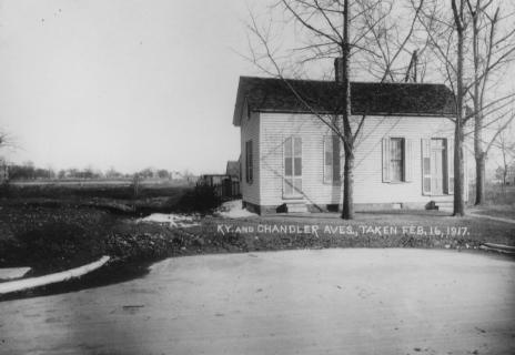
Kentucky and Chandler Avenues: Photo dated February 16, 1917 (Payne 17)
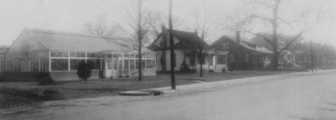
Kentucky Avenue, 700 Block S: Niednagle Greenhouse and cottage are at left; c. 1920s (Knecht 4653)

Kratzville Road: “The Loop”; early 1900s (Knecht 4023)
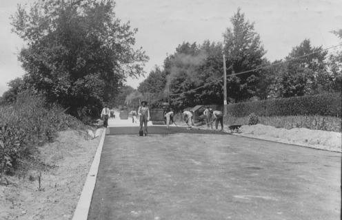
Lincoln Avenue: Paving work near the intersection with Washington Ave.; dated June 19, 1923 (Knecht 472)

Lincoln Avenue: Looking east from Kentucky Ave.; photo dated 1909 (Knecht 747)
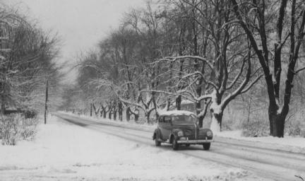
Lincoln Avenue at Alvord Boulevard: Looking east from Alvord; photo dated December 27, 1939 (Knecht 3680)
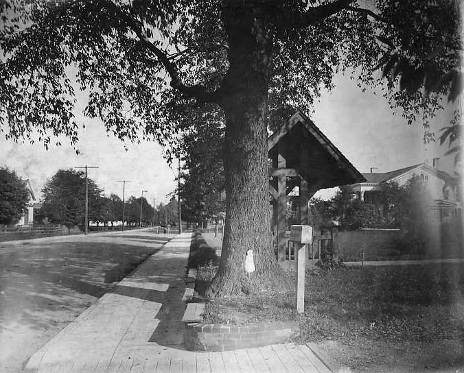
Lincoln Avenue, 1100 Block: Looking east; at far right is the Boehne residence (now a gift shop); photo dated 1909 (Knecht 4471)

Line Street, 900 Block: Early 1900s (Knecht 865)
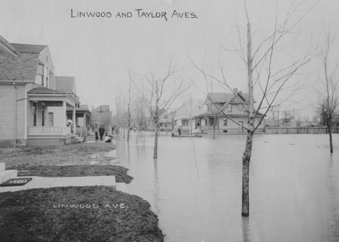
Linwood and Taylor Avenues: Photo taken during the flood of 1913 (Knecht 2026)
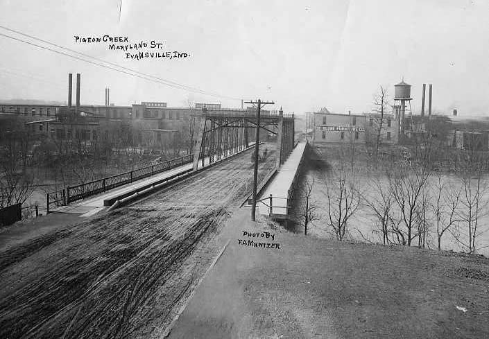
Maryland Street at Pigeon Creek: Photo dated 1901 (Knecht 863)
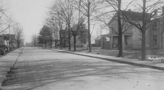
Monroe Avenue: View from Campbell St.; early 1900s (Knecht 4666)

Ninth Street, 100 Block SE: F. W. Cook Brewing Co. is in the background; c. 1920 (Knecht 4463)
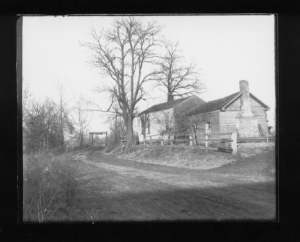
Oak Hill Road: Farmhouse near bridge; c. 1900 (Riggs 89)
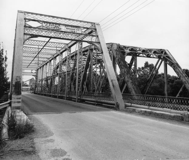
Ohio Street: Bridges over Pigeon Creek (left bridge constructed in 1881); photo taken c. 1980 (2PC-68)
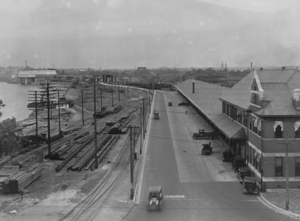
Ohio Street: Looking west from Fulton Ave.; c. 1935 (Knecht 162)
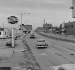
Pennsylvania Expressway: Looking west towards Fulton Ave.; photo dated March 28, 1961 (Redevelopment Commission 79)

Riverside Drive Street: widening in preparation for the construction of Dress Plaza; photo dated 1936 (Knecht 2176)
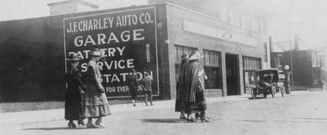
Riverside Drive: View from Locust St. looking towards Walnut St.; photo dated April 13, 1917 (Knecht 4536)
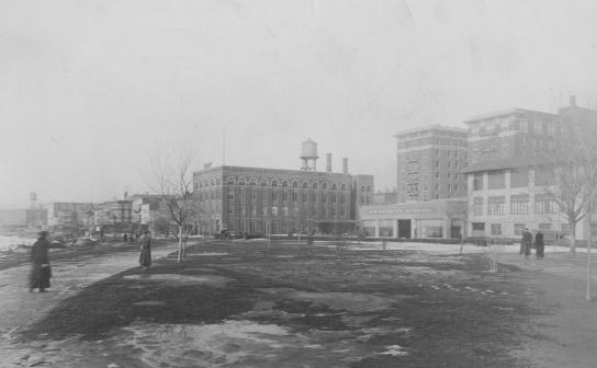
Riverside Drive: View of Sunset Park and riverfront; c. 1920 (Knecht 3783)
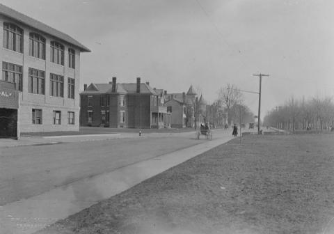
Riverside Drive: Facing southeast, near Walnut St.; Sunset Park at left; photo dated 1912 (Knecht 766)
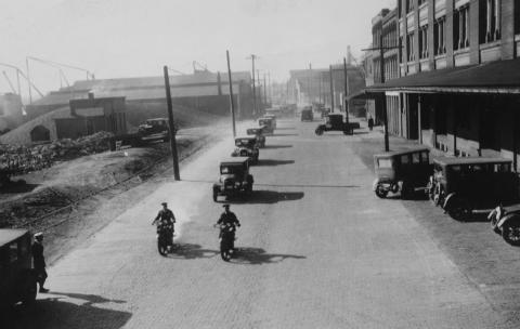
Riverside Drive: at Ingle and Court C. 1920s (Knecht 4528)
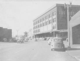
Riverside Drive, 200 Block NW Schnepper Truck Line building in background (at right); c. 1950s (Mesker Steel Collection)
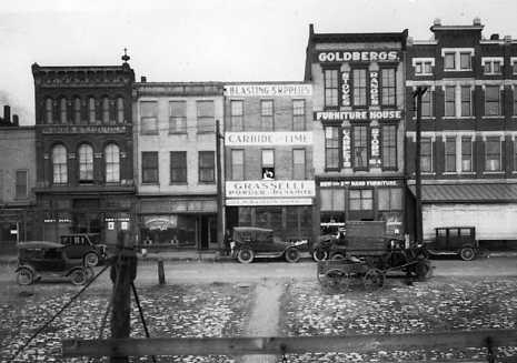
Riverside Drive, 7-15 NW: Early 1900s (Marchand 223)
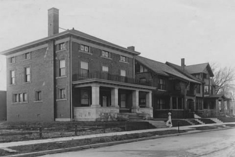
Riverside Drive, SE: Early 1900s (Knecht 4652)
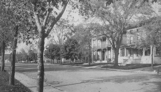
Riverside Drive, SE: Looking towards Cherry St.; photo dated 1919 (Knecht 4657)
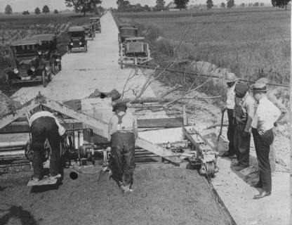
Road Construction: Workers joining the old concrete road between Boonville and Evansville; man at far right is A. V. Burch of the Indiana Highway Commission; c. 1922 (Knecht 4262)
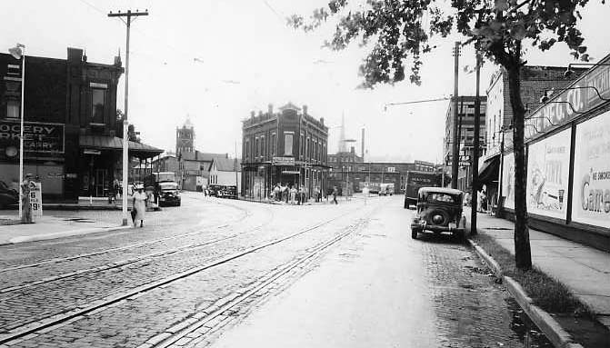
Second Street at Carpenter Street: Photo dated August 16, 1938 (Meyer-Schlamp 43)
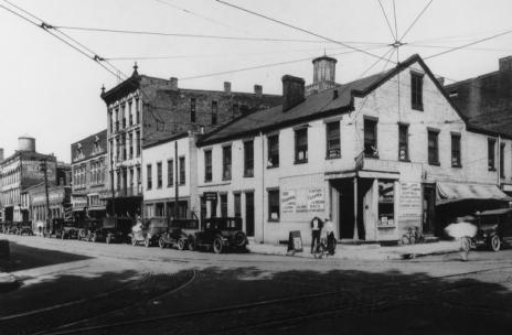
Second Street at Locust Street: C. 1920 (Payne 38)

Second Street, 223 SE: The former Parvin House, now a law office; photo dated 1999 (21PC 29)
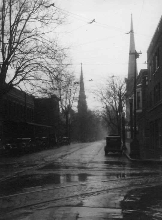
Second Street, SE: C. 1920s – 1930s (Henry Meyer Collection)

Second Street, SE: View from Chandler, looking towards downtown; photo dated November 25, 1940 (Meyer-Schlamp 46)
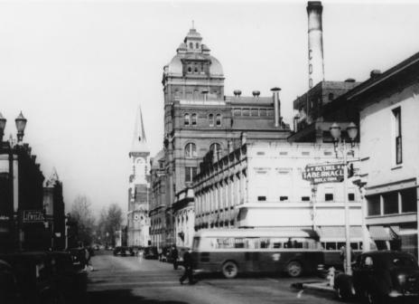
Seventh Street at Main Street: Cook’s Brewery at center; to the northwest are Assumption Catholic Church and (across the street) Central High School; photo dated 1946 (Center City 45)

Sixth Street at Sycamore Street: Originally a residence built c. 1860; photo dated c. 1979 (Marchand 365)
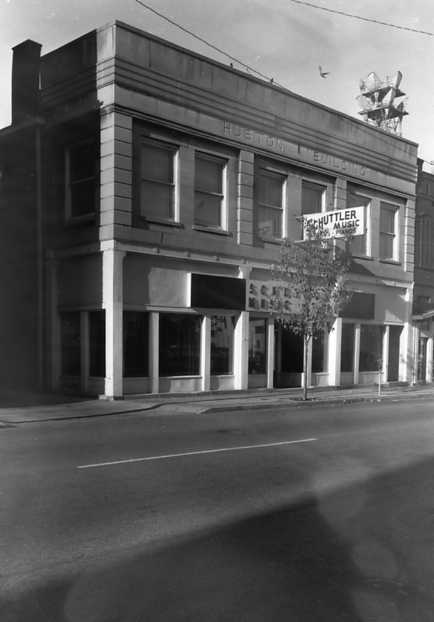
Sixth Street, 12 NW: Home of the Schuttler Music company (originally the Huston Building); c. 1977 (Marchand 632)
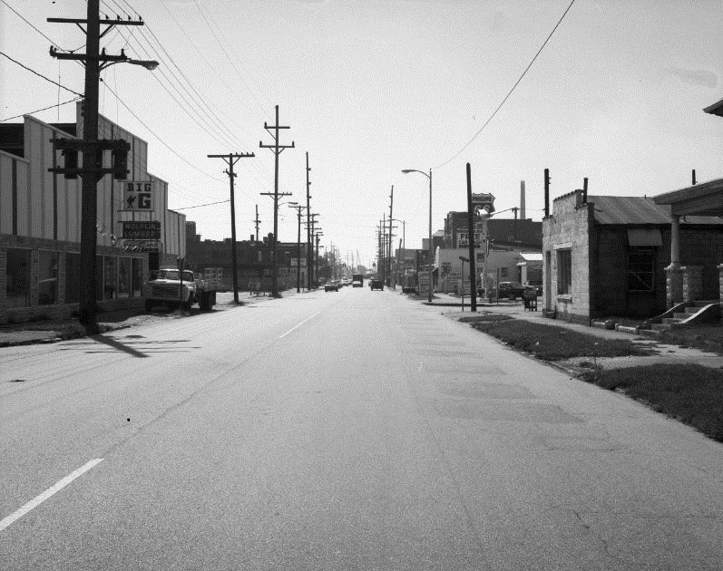
St. Joseph Ave., 400 Block N: Looking south towards Virginia St.; Hose House No. 5 visible in the distant right. Photo dated 1971 (Koch Studio 3205)
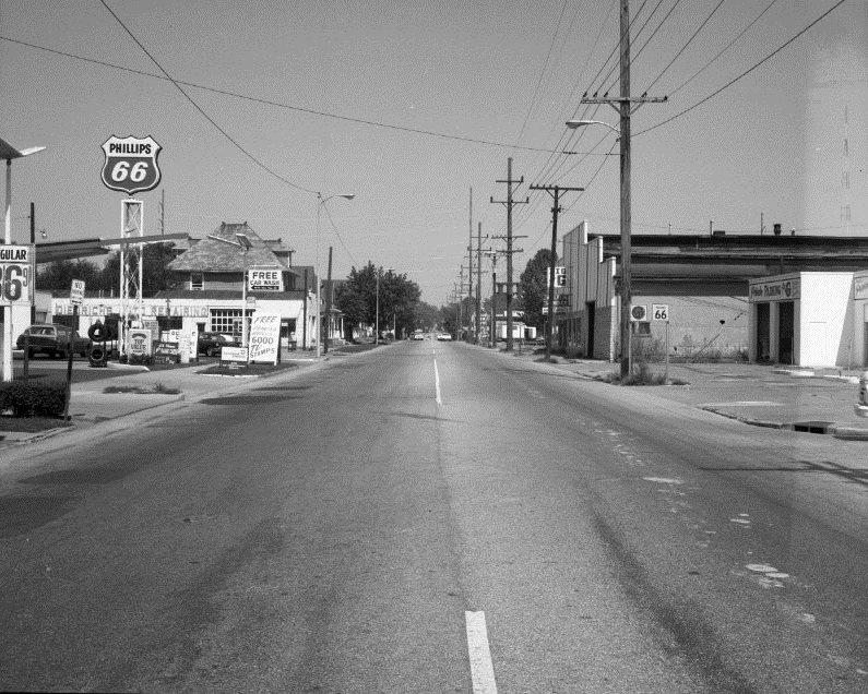
St. Joseph Ave., 400 Block N: View of the block looking north of Michigan St.; photo dated 1971 (Koch Studio 3203)

St. Joseph Ave., 400 Block N: View from Virginia St., looking east towards Big G Corp. at 421 N. St. Joseph Ave.; photo dated 1971 (Koch Studio 3204)
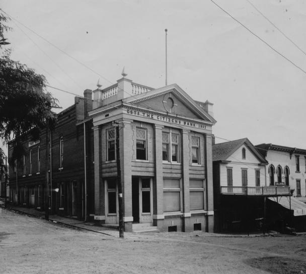
State and Jennings Streets (Newburgh, IN): Town Hall and The Citizens Bank building at corner; c. 1907 (Knecht 4827)

State and Jennings Streets (Newburgh, IN): Phelps Block; early 1900s (Knecht 4829)

State Street (Newburgh, IN): Looking north from Water St. in Newburgh, IN; c. 1907 (Knecht 4825)

State Street (Newburgh, IN): Looking south towards the Ohio River; early 1900s (Knecht copy of Deeds photo)

Sunset Avenue: Photo dated 1917 (Knecht 4806)

Sycamore Street: Between NW Second and Third Sts. (Skora Building in background); photo dated January 1918 (Knecht 3692)
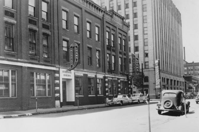
Sycamore Street: Looking towards the Hulman Building on NW Fourth St.; c. 1950 (Morris Plan 2)

Sycamore Street at Fifth Street: The Flying Saucer Cafe (foreground) and the Old Vanderburgh County Courthouse (background); photo dated September 1, 1997 (19PC 42)
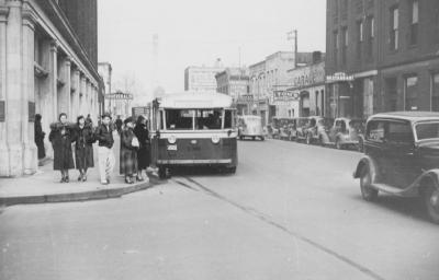
Sycamore Street at Fourth Street: The Sears building is at left; c. late 1940s (VC 91)
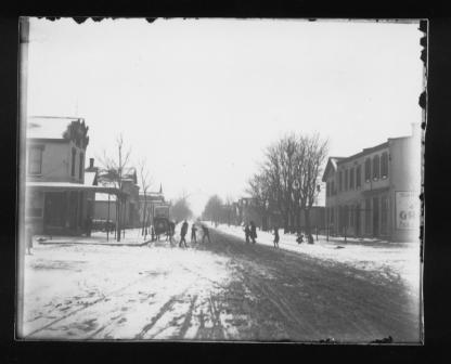
Third Avenue at Illinois Street: Looking north; c. 1890s (Riggs 127)
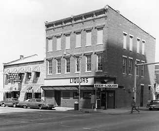
Third Street, 100 Block NW: Cafe Venice at left; photo dated 1984 (Marchand 259)

Third Street, 17-19 SE (New Photo): At left is Michael’s Beauty Salon, Walden photography studio is next to salon, and at far right is National City Bank on Main St.; buildings were razed in the early 1960s for construction of bank annex; c. 1962 (Miscellaneous Collection)
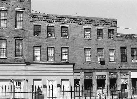
Third Street, 314-316 NW: (Marchand 270)
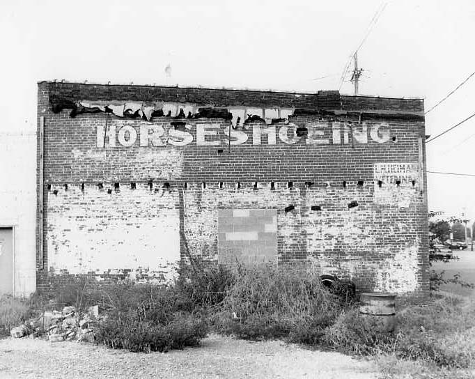
Third Street, 430 NW (?): Rear of building that housed horse-shoeing business and veterinary clinic in early 1900s; photo dated 1999 (21PC 30)

Third Street, SE: Looking northwest near Main St.; c. 1960s (Meyer-Schlamp 496)
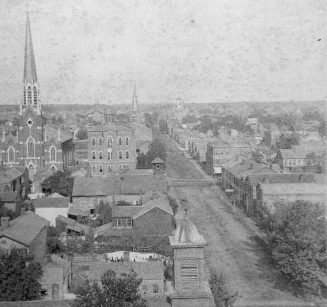
Vine Street: View looks east down Vine Street; large church at the left is Holy Trinity Catholic Church at 211 NW Third St.; c. 1880 (Hammond 4)
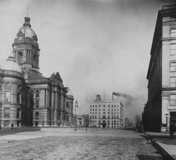
Vine Street: Looking east from Fourth St.; early 1900s (Knecht 490)
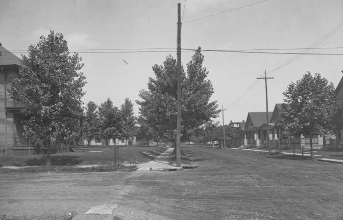
Virginia Street: “Outer” section of street; early 1900s (Knecht 4661)
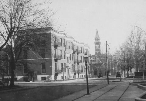
Walnut Street: Looking towards block between Third and Second Sts.; photo dated December 1920 (Knecht 790)

Washington Avenue, 400 Block: 419 Washington Ave. (left) and 409 Washington Ave. (right); c. 1980 (Marchand 1319)
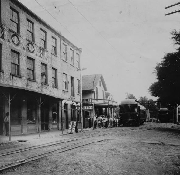
Water Street: Newburgh, IN; I.O.O.F. building is at left, and the E S & N Railway station is at right; early 1900s (Knecht 4826)
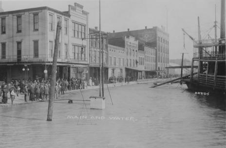
Water Street at Main Street: Flood of 1913 (Knecht 2033)
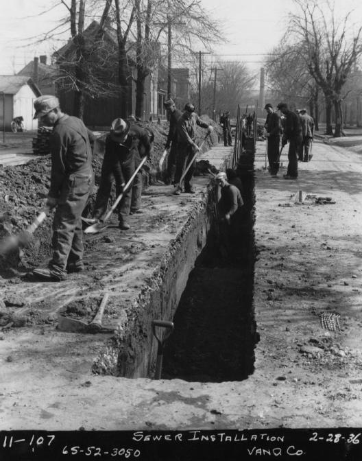
WPA Street: Crew Installing sewers during the Depression; photo dated February 28, 1936 (VC 26)


